My Love of Scotland
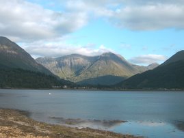
Glen Coe is a very popular tourist destination; partly because of its scenic qualities and historical associations, partly because it is on the main road north (the A82), and also because of its attraction for walkers and climbers. It is famous for the quality, and variety of its winter climbing, most of its routes being comparatively easy of access from the main road.
Many walkers come to Glen Coe on the West Highland Way following the old military "Wade road" over Rannoch Moor which crosses the River Etive at the Kings House Hotel. From there it is about 2 km (1.2 miles) to the head of the glen, then about 2 km into the glen the Way ascends the Devil's Staircase, a steep, boulder-strewn "cut" (352 m high) which is part of the old military road and drove road north across the hills to Kinlochleven.


Other than a few scattered farms, the only settlement in Glen Coe is the village of Glencoe, which lies at the western end of the glen close to Invercoe where the river joins Loch Leven. About 2 km to the west, on the southern shore of the loch, is the village of Ballachulish, known in the past for its slate quarries, which have been worked since 1760.
The famous Clachaig Inn, a pub with a nearby camp site much favoured by climbers and hillwalkers, is sited at the bend in the glen about 3 km (2 miles) from Glencoe village. A Scottish Youth Hostels Association hostel is sited about 2 km (1.2 miles) from the village, on the way to the inn. The Kings House Hotel, lying about 2 km to the east of the head of the glen towards Rannoch Moor, is a relic of the old coaching days when it was customary for tourists to drive from Ballachulish via Tyndrum to Loch Lomond. This old inn still welcomes visitors, and thrives on the tales of walkers and skiers, as well as climbers down from the glen's peaks. There are three official campsites. Wild camping is not allowed in Glen Coe, but is permitted in Glen Etive.
Ben Nevis is the highest mountain in Scotland and the United Kingdom. It is located at the western end of the Grampian Mountains in the Lochaber area of Scotland, close to the coastal town of Fort William. Known simply as "The Ben" to many walkers and climbers, it attracts an estimated 100,000 visitors a year, around three-quarters of whom use the well-constructed Pony Track from Glen Nevis on the south side of the mountain. For climbers and mountaineers the main attraction lies in the 700-metre-high cliffs of the north face: among the highest cliffs in Britain, they harbour some classic scrambles and rock climbs of all difficulties, and are one of the principal locations in the UK for ice climbing. The summit, at 1,344 metres (4,406 feet) above sea level.


------------------------------------------------------------------------------------------------
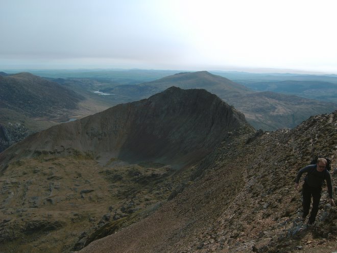
The Cairngorms are named after Cairn Gorm (Blue Cairn in the Scottish Gaelic language), the most prominent of the hills as seen from Strathspey.

The Cairngorms feature the highest, coldest and snowiest plateaux in the British Isles and are home to four of the five highest mountains in Scotland:
Ben Macdhui (1309 m)
Cairn Gorm (1245 m)
Braeriach (1296 m)
Cairn Toul (1293 m)
These mountains are all Munros, and there are a further 13 mountains with this categorisation across the area, of which another five are among the twenty highest peaks in the country.

No comments:
Post a Comment